-
×
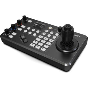 Lilliput K1 Professional IP & Serial PTZ Camera Joystick Controller
- Estimated delivery:
on 26 April - 7 June, 2026
-
×
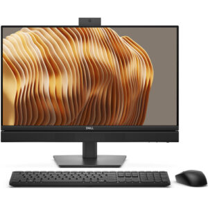 Dell 23.8" Pro 24 All-in-One 35W Thin Client Desktop Computer
- Estimated delivery:
on 26 April - 7 June, 2026
-
×
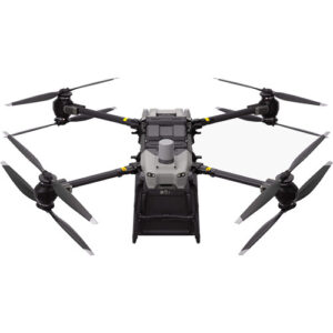
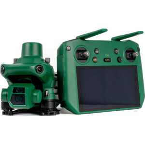 ANZU ROBOTICS Raptor Enterprise Drone with RTK Bundle
- Estimated delivery:
on 26 April - 7 June, 2026
-
×
 Microsoft 14.4" Surface Laptop Studio 2 for Business (Platinum)
- Estimated delivery:
on 26 April - 7 June, 2026
-
×
 Cort Standard AD Mini 3/4 Size Dreadnought Acoustic Guitar
- Estimated delivery:
on 26 April - 7 June, 2026
-
×
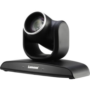 Lumens VC-B30U 2MP PTZ Camera
- Estimated delivery:
on 26 April - 7 June, 2026
-
×
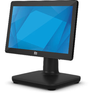 Elo Touch 15.6" EloPOS E440234 Multi-Touch All-In-One Desktop Computer
- Estimated delivery:
on 26 April - 7 June, 2026
-
×
 Gigabyte 18" AORUS MASTER 18 Gaming Laptop
- Estimated delivery:
on 26 April - 7 June, 2026
-
×
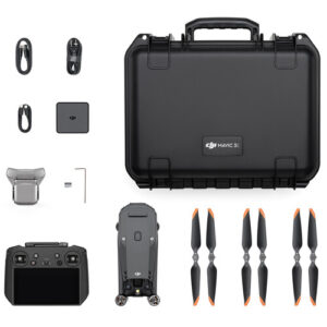
 DJI FlyCart 30 Aerial Delivery Drone
- Estimated delivery:
on 26 April - 7 June, 2026
-
×
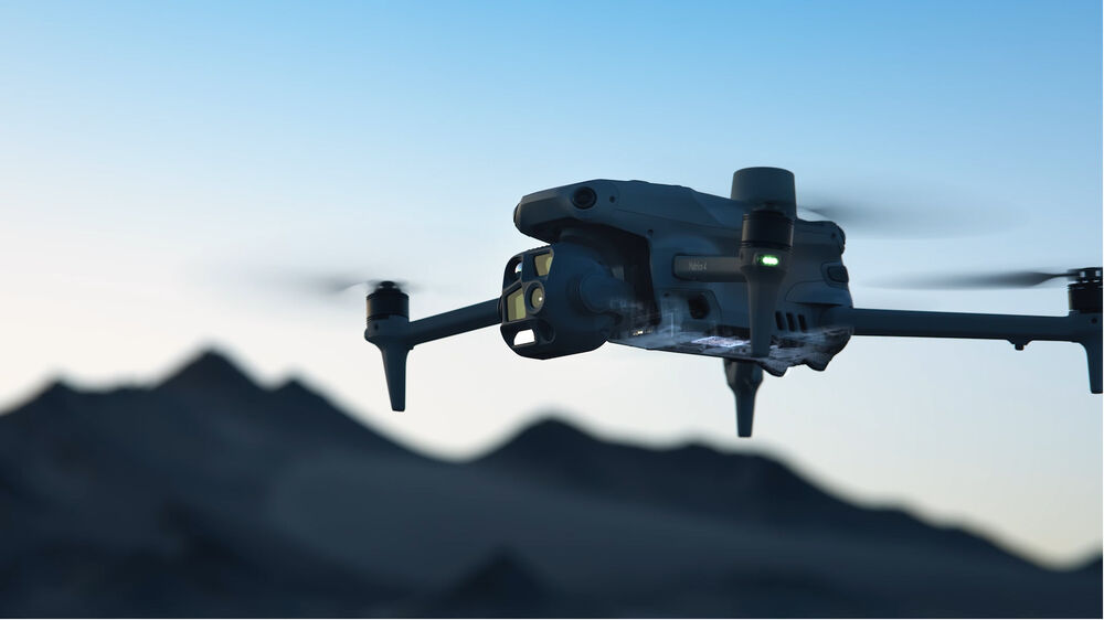
 DJI Matrice 4E Drone with 1-Year Care Enterprise Plus
- Estimated delivery:
on 26 April - 7 June, 2026
Subtotal: $31,057.77


There are no reviews yet.