-
×
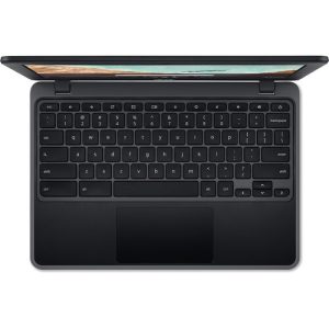 Acer 11.6" 32GB Chromebook 311
- Estimated delivery:
on 8 March - 19 April, 2026
-
×
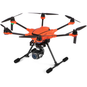
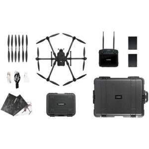 YUNEEC H850 Professional Hexacopter
- Estimated delivery:
on 8 March - 19 April, 2026
-
×
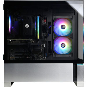 CyberPowerPC Gamer Master Desktop Computer
- Estimated delivery:
on 8 March - 19 April, 2026
-
×
 ASUS Republic of Gamers G700TF-XS999 Desktop Gaming Computer
- Estimated delivery:
on 8 March - 19 April, 2026
-
×
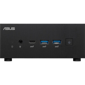
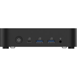 ASUS NUC 14 Essential Barebone Kit
- Estimated delivery:
on 8 March - 19 April, 2026
-
×
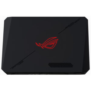 ASUS Republic of Gamers NUC 970 Mini Desktop Computer
- Estimated delivery:
on 8 March - 19 April, 2026
-
×
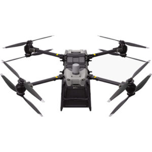
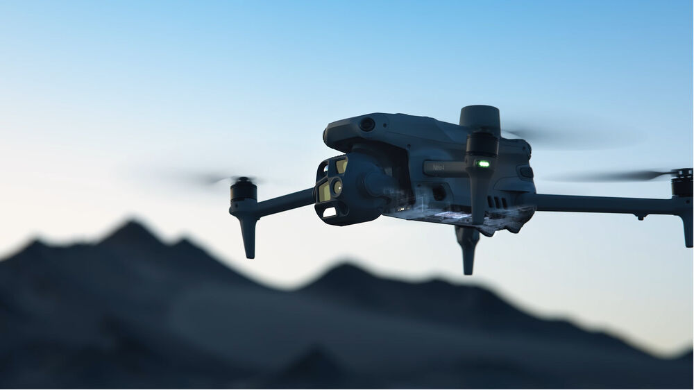
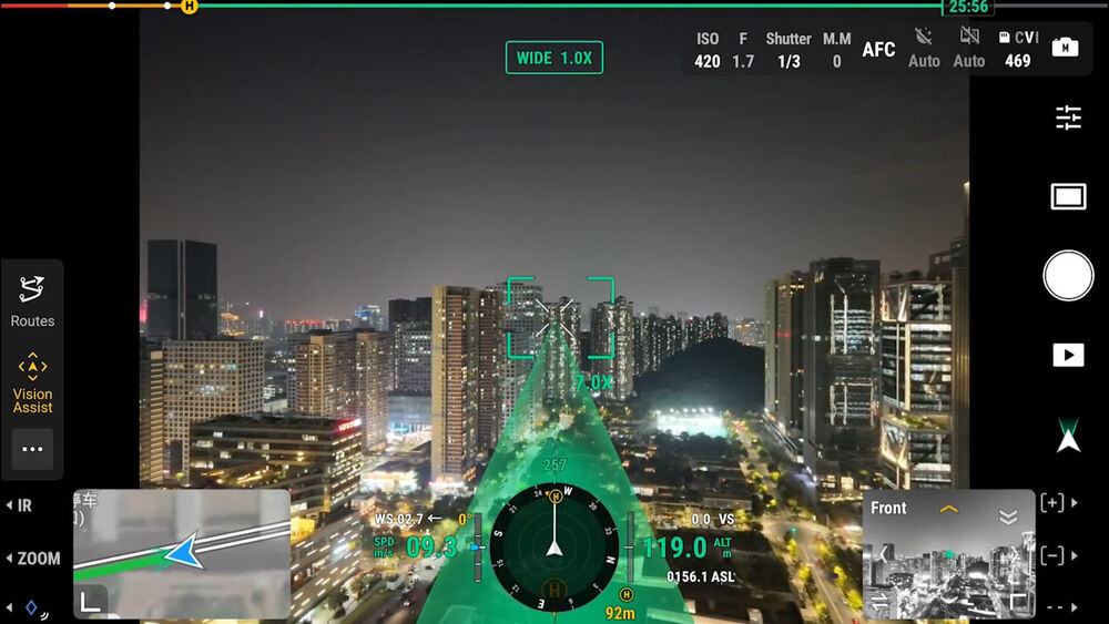
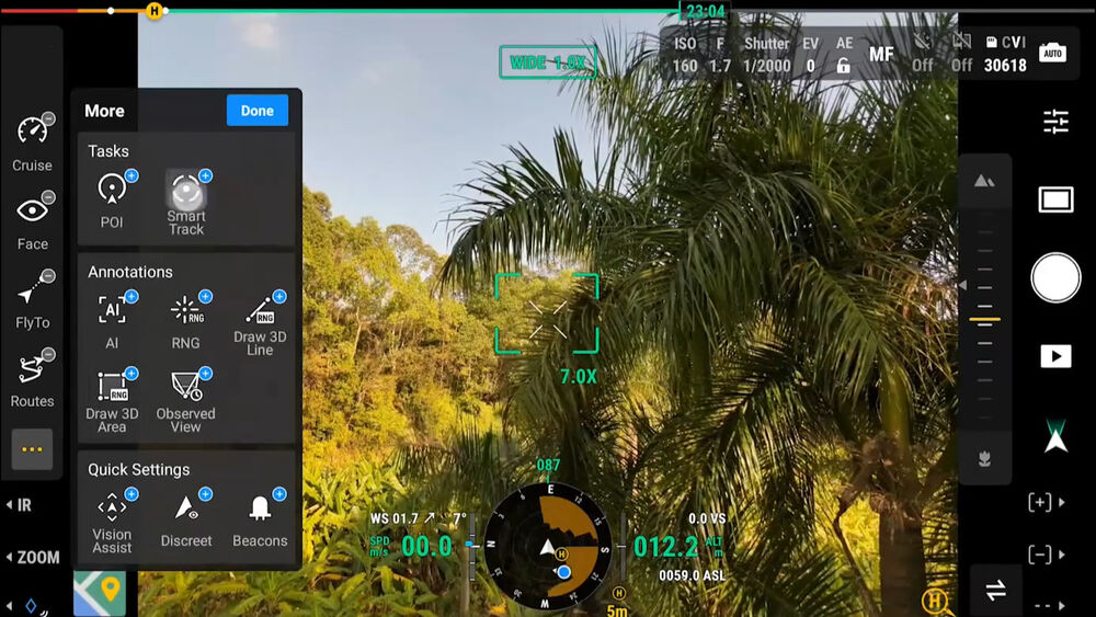
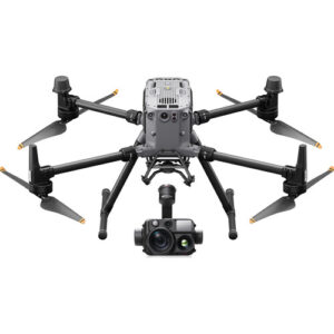
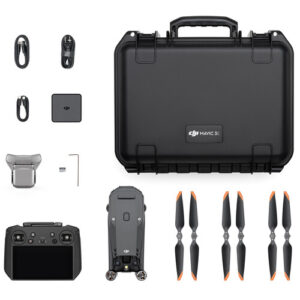 DJI Matrice 4E Drone with 1-Year Care Enterprise Plus
- Estimated delivery:
on 8 March - 19 April, 2026
-
×
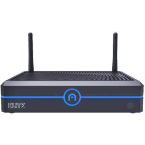 Azulle Elite Mini Desktop Computer (Barebone)
- Estimated delivery:
on 8 March - 19 April, 2026
-
×
 ASUS ExpertCenter PN64 Mini Barebones PC
- Estimated delivery:
on 8 March - 19 April, 2026
-
×
 Microsoft 14.4" Surface Laptop Studio 2 for Business (Platinum)
- Estimated delivery:
on 8 March - 19 April, 2026
-
×
 DJI FlyCart 30 Aerial Delivery Drone
- Estimated delivery:
on 8 March - 19 April, 2026
Subtotal: $35,644.27


There are no reviews yet.